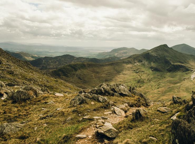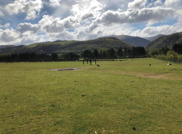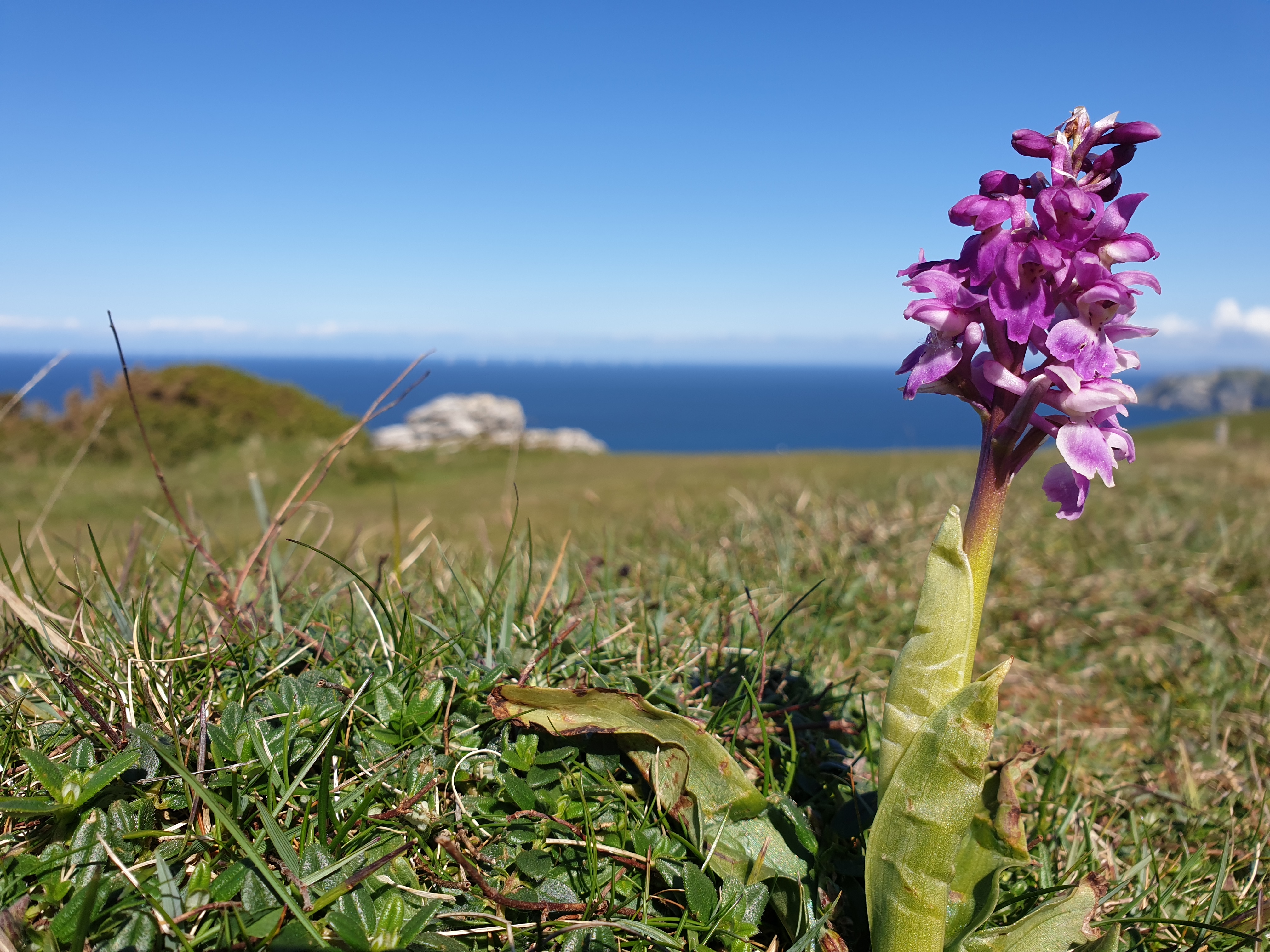
A key strand of ERAMMP is to undertake a National Field Survey in Wales to provide information for the evaluation of the Glastir agri-environment scheme and ongoing Sustainable Land Management.
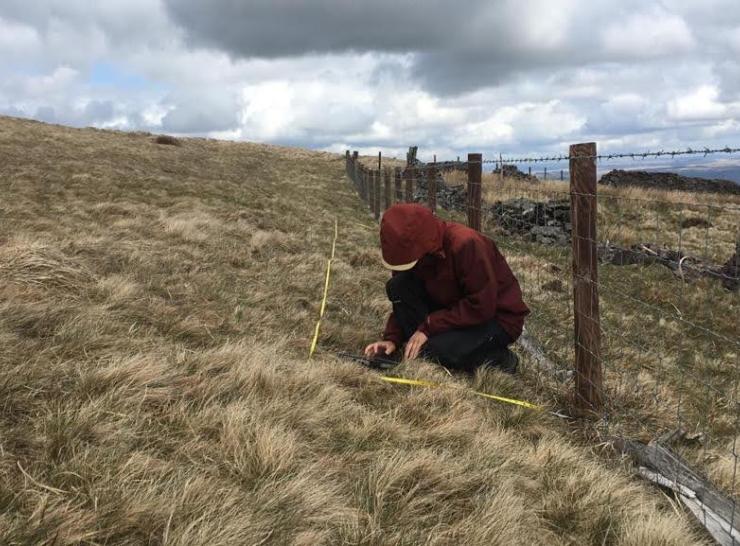
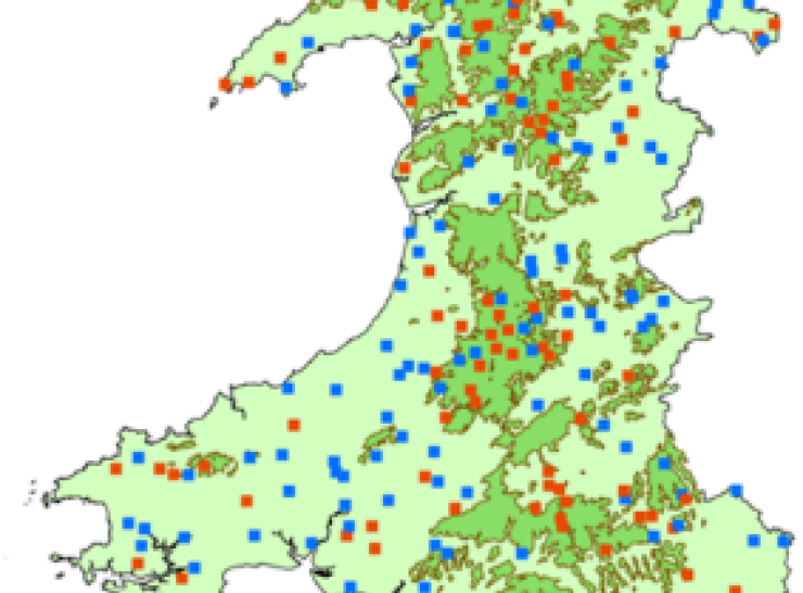
Re-sampling all of the 300 1km squares that were sampled during the Glastir Monitoring and Evaluation Programme (GMEP, 2013-2016), our specialist team of 37 surveyors will record many aspects of the Welsh countryside including its habitats, plant and animal species, water & soils.
Capturing the current state of Wales’ natural environment through the National Survey will allow a high-quality assessment of landscape change over time with reference to historical data.