
Main navigation

  • Cross-cutting themes
    • Water
    • Biodiversity
    • Air
    • Woodland
    • Soil & Peat
    • Landscape
    • Green House Gas (GHG)
    • Cultural Heritage
    • Land-Sea interface
    • Recreation & Access
  • Monitoring
    • The ERAMMP National Field Survey
    • Indicator-13 Soil Carbon
  • Modelling
    • Integrated Monitoring Platform (IMP)
    • Quick Start
    • FABLE Calculator
  • Evidence
    • National Trends & Glastir Evaluation
    • National Forest Evidence
    • Sustainable Farm Scheme Evidence Review (SFS)
    • Natural Capital Accounting
    • Earth Observation
    • National Reporting & SoNaRR
    • Antimicrobial Resistance
    • Future options
    • Indicator-13 Soil Carbon
  • Report List

Field Manuals 

Breadcrumb

  1. Home
  2. Field Manuals 
Available translations: Cymraeg

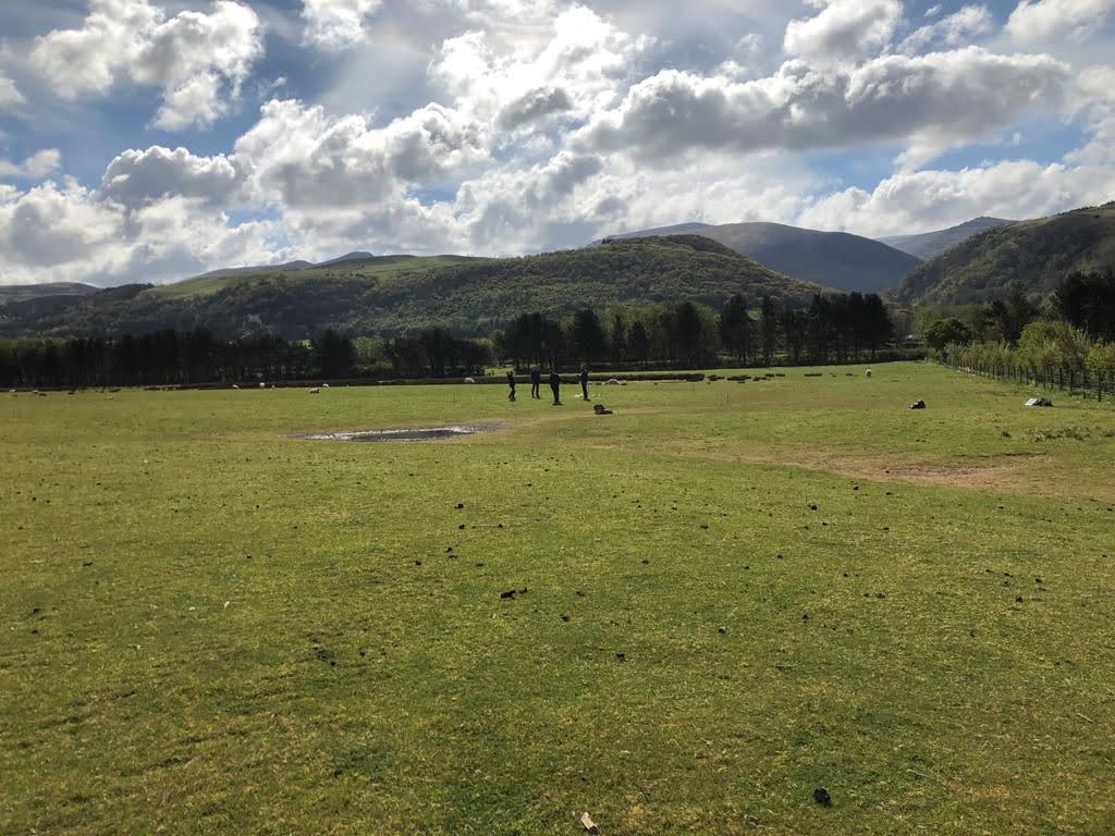
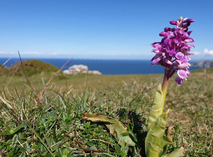
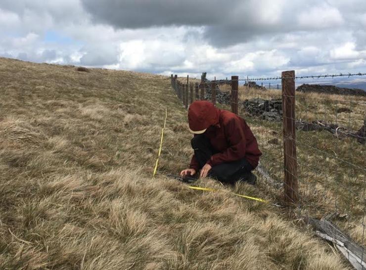
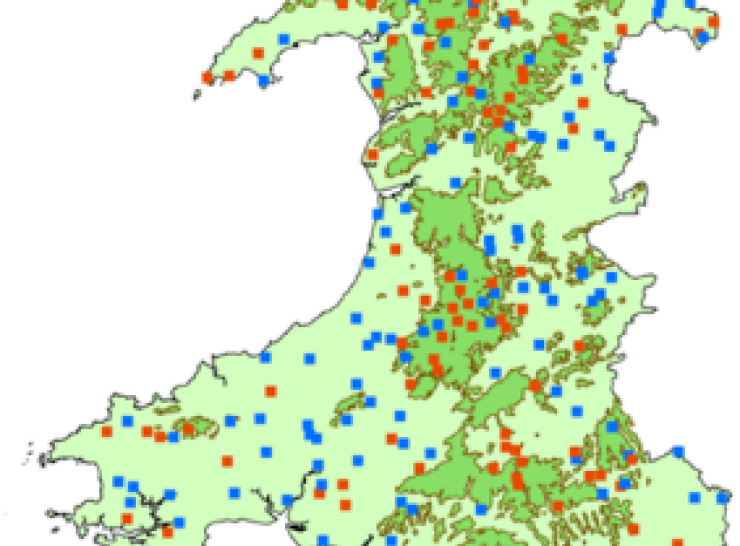
The ERAMMP survey follows comprehensive field manuals.

These are publicly available for use.  

ERAMMP Report
Report 49. Field handbook: Veg plots
ERAMMP Report
Report 50. Field handbook: Freshwater
ERAMMP Report
Report 51. Field handbook: Soils
ERAMMP Report
Report 52. Field handbook: HEF
ERAMMP Report
Report 53. Field handbook: Biosecurity
ERAMMP Report
Report 71. Field handbook: Soil erosion
ERAMMP Report
Report 73. Field handbook: Mapping woody features
ERAMMP Report
Report 76. Field handbook: Pollinators
ERAMMP Report
Report 88. Field handbook: Birds
ERAMMP Report
Report 90. Field handbook: Stream erosion

More about the ERAMMP National Field Survey...

National Field Survey
The National Field Survey
What in the survey
What happens in the survey?
Surveyor
Who does the Survey?
GMEP square locations
How is land selected?
biosecurity
Covid & Biosecurity
  • Subscribe to the ERAMMP newsletter
  • Browse content
  • Glossary
  • Contact
  • Privacy policy
  • Cookies
  • Accessibility statement